
👍
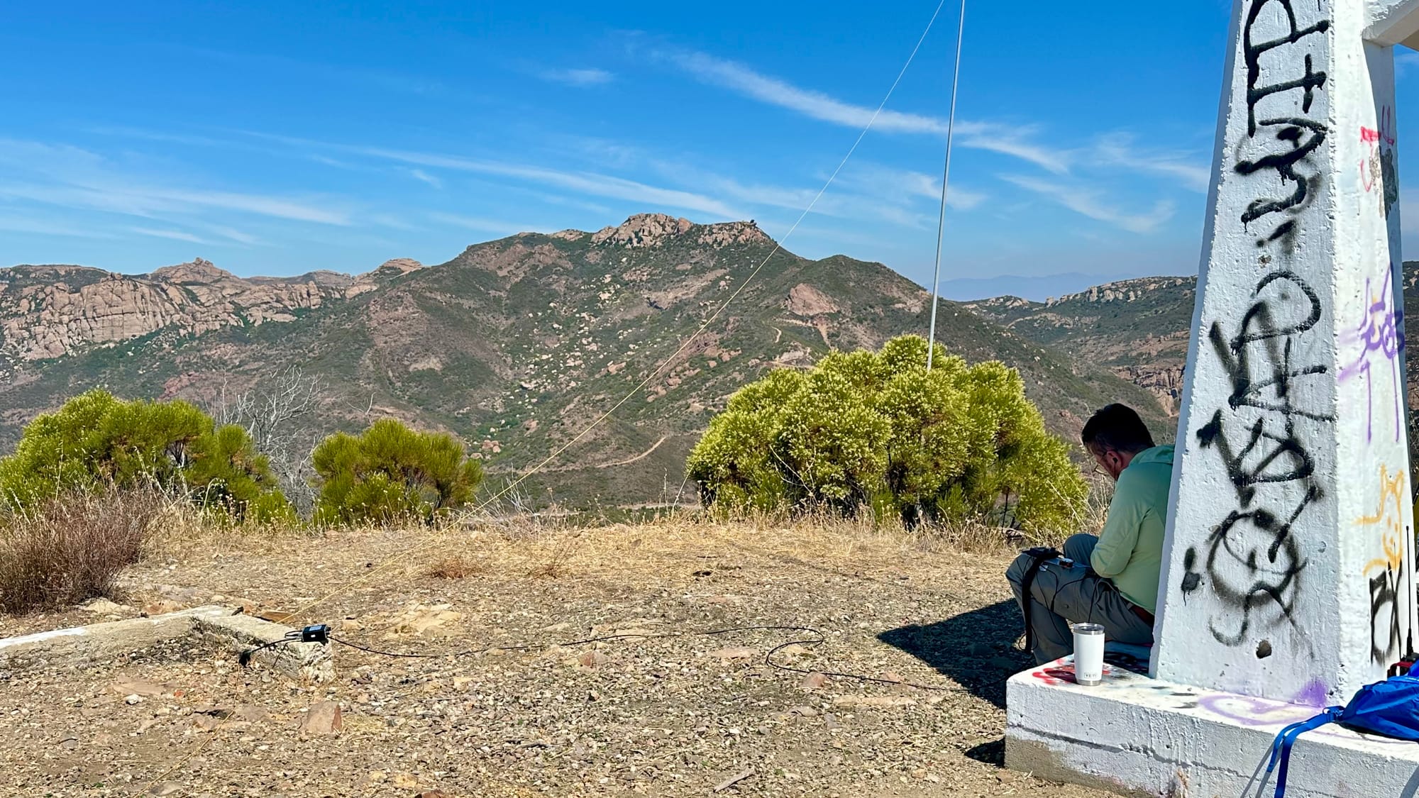
My Take: 10/10! A low-effort hike to an excellent RF vantage point with a great view. A good climber can make use of the structure. There is a small amount of shade from the structure, but the hike is completely exposed. My SOTA rating is a solid 10/10
Parking is scarce in the small dirt turnout for this one. As it turned out, my partner Jen and I had hiked the Backbone Trail from there last year, which I can also strongly recommend.
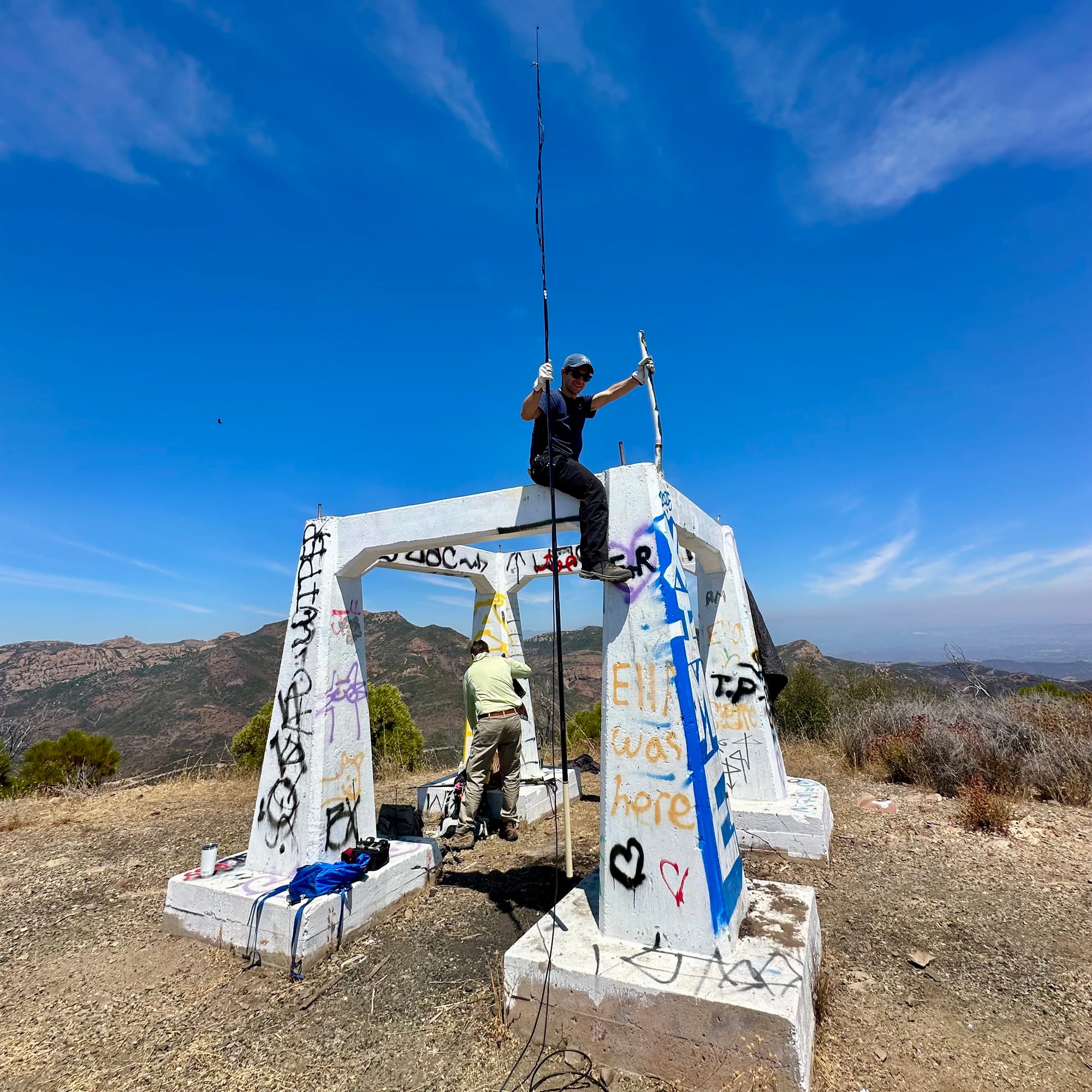
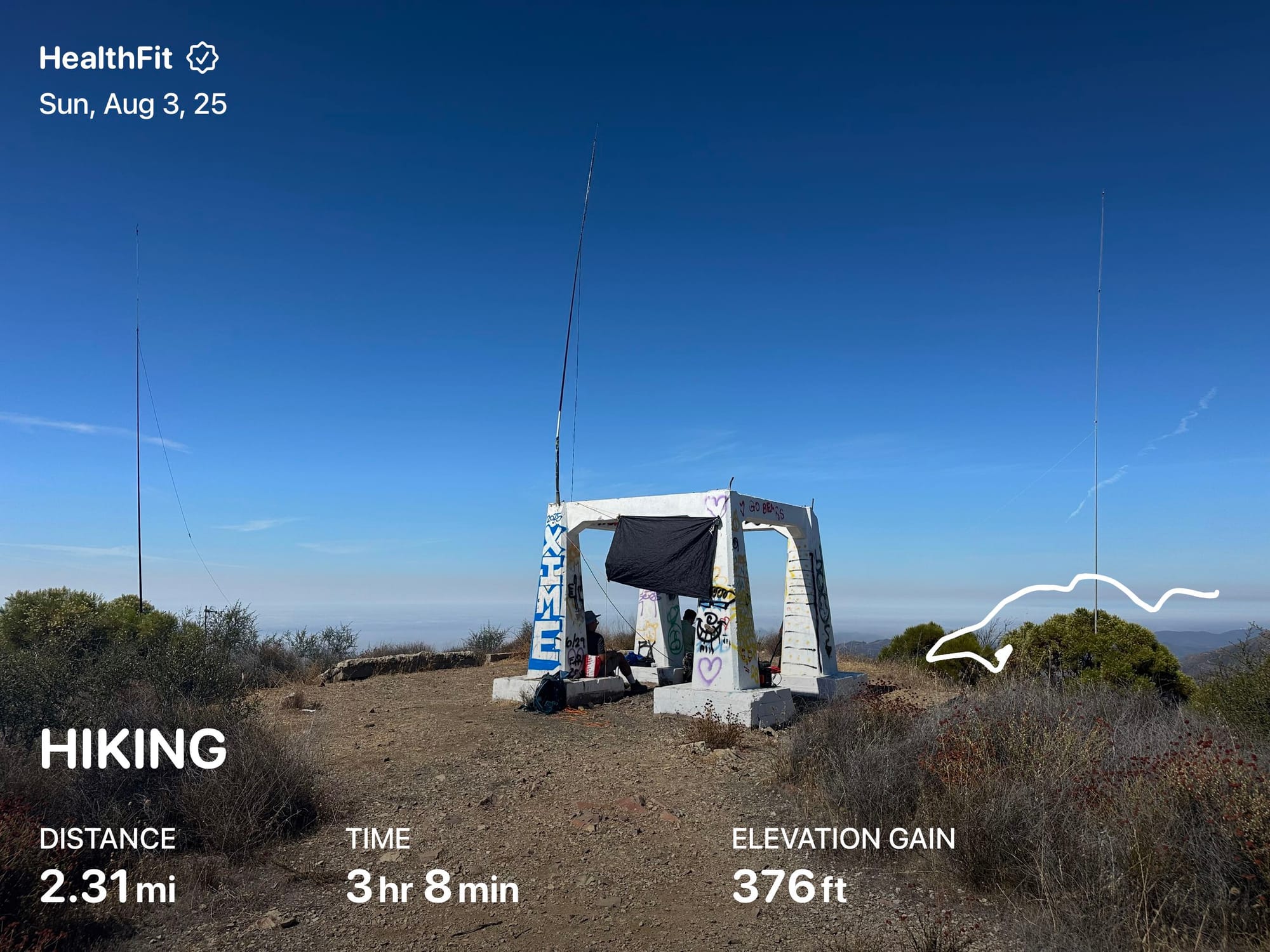
The hike was 0.8 miles each way with 740‘ of elevation gain. Line-of-sight from this one is as good as the view, both 10/10.
We used the structure, some mountain bikers we met said was the base to a weather station or radar site long ago, to mount our VHF antenna (KI6CR’s rollup J-pole on a fiberglass mast.
As always, I view SOTLAS as the source of info for this summit: https://sotl.as/summits/W6/SC-219
(We did this one on August 3rd 2025)
About SOTA
💡
SOTA, Summits on the Air, is a worldwide program encouraging ham radio operators to get outdoors and do a lot with a little. Physical and radio operator skills work together for successful “activations”- achieving 4+ radio contacts in a visit. Use of repeaters, internet, etc. is prohibited, it’s just radio-to-radio. There are many “chasers” who enjoy hunting down and communicating with “activators” (the folks on the summits). Online awards are given, but getting outdoors and doing radio itself is always an automatic win

Member discussion: